


water, oh, sweet water

The fanfare and fireworks of the 4th of July holiday - celebrating the American Declaration of Independence - are over, but the work of keeping our democratic republic intact continues. That work now includes how the dwindling water supply of the Colorado River is distributed among seven states and Mexico.
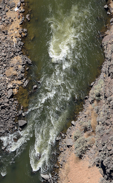
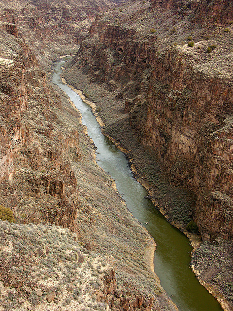
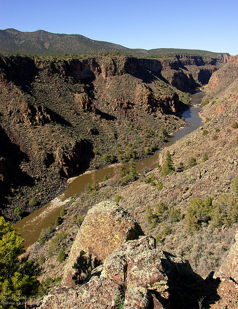
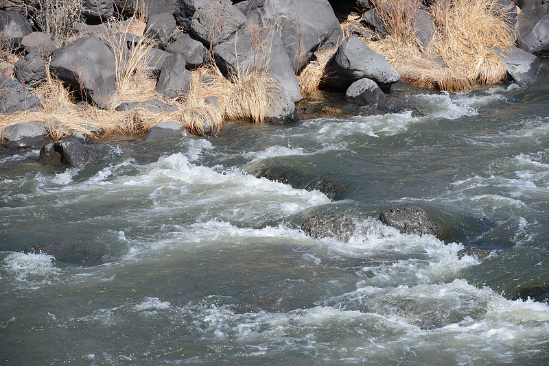
The photographs included in today's blog about the Colorado River Compact are actually from New Mexico's own life blood - the Rio Grande - which is now dry from Albuquerque to Elephant Butte Reservoir, standing at 3.3% full as of yesterday. Although a recreation lake, it's primary use is for agriculture, including the state's famous chile crop.
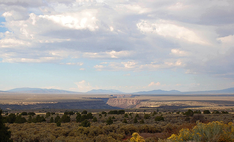
Below is a broad image of the Rio Grande Gorge near Taos, the headwaters of which are also in Colorado.
Surprisingly, I spoke with several people this week who are also concerned about an agreement that was put together in 1922 by Arizona, California, Colorado, Nevada, New Mexico, Utah, and Wyoming, and signed by representatives of those states. The Colorado River Compact has impacted life in the American west since the signing at Bishop's Lodge in Santa Fe. It was and still is all about water. Specifically, water from the Colorado River and its "drainage basin", who has rights to it, and how much is allotted to each state. I cannot say that humans have been creating dams as long as beavers have, but our species has been busy. "The Colorado runs 1,450 mi (2,330 km) from the Rocky Mountains to the Gulf of California, draining parts of seven U.S. states and two Mexican states. The river system is one of the most heavily developed in the world, with fifteen dams on the main stem of the Colorado [citation needed] and hundreds more on tributaries." (Wikipedia) Guidelines of the compact will expire this year. The water is becoming more precious and valuable literally by the minute, as population increases, and agricultural, industrial, and electrical needs of cities balloons. Add to that a higher level of electrical consumption and water usage by AI data centers, and a serious crisis is emerging. Terms like deadpool and third straw are being used to describe water levels and the ability of huge electrical generating systems at Glen Canyon Dam and Hoover Dam (which created Lake Powell and Lake Mead respectively) to function effectively, or even at all, as the water level falls. It is extremely complicated, and I feel woefully inadequate to write about this. But on the other hand, I feel compelled to address it, and want to encourage you to read the excellent material in Wikipedia online, as well as many other sources. PBS science correspondent Miles O'Brien hosted a special "Tipping Point: Colorado River Reckoning" earlier this year, and there are a number of documentaries that are helpful in understanding how water from the mighty Colorado is being used. The PBS special is also on YouTube.
Looking back on my life, there are a number of reasons why I am concerned about the Colorado River Compact and water usage in general. I am a tried and true westerner. I was a Girl Scout. Camp in the Ponderosa pine forests for two weeks every summer was a life-saver. In 1968, I took a backpacking trip into the Grand Canyon to Havasu Falls during which I used a camera seriously for the first time. None of those negatives or photos remain, but the memories do. I just had a sense that nature was special. When my husband and I married, we found we shared a love for the outdoors, built solar houses together, and began to read environmental literature and fiction by Edward Abbey. Abbey, a writer, park ranger, and environmentalist along with photographer John Blaustein, and Martin Litton (a former Sierra Club director and opponent of the construction of Glen Canyon Dam), took an epic 277 mile 18-day rafting trip down the Colorado River from Lees Ferry to Pierce Ferry. The Hidden Canyon - A River Journey, (Viking, 1977) is Edward Abbey's journal of that trip. Before work began on the dam, Glen Canyon was one of the extraordinary natural places in the west. After the dam was built in the 1950s and 1960s, water from the Colorado River started filling the dam, flooding Glen Canyon, and creating Lake Powell. Litton and Abbey were enraged about damming of the Colorado, yet again, and fought the action until their dying days. Fast forward to 2026, climate change and drier winters. An interesting side effect is that parts of Glen Canyon are no longer under water and are once again revealed above water because of diminished snow melt into the Colorado River. The dam is currently at 23% capacity, or 3,525.49 feet. "If reservoir levels drop to the ROWs’ elevation of 3,370 feet above sea level (ROW stands for River Outlet Works), Lake Powell would reach “dead pool,” where water would pass through the dam only when the river’s flow exceeded the amount of water lost to evaporation from the reservoir. No other intakes nor spillways exist below the ROWs." (High Country News article by Wade Graham, 11 February 2026). Another excellent article about the life blood of the west is an online article by Brett Walton on 29 April 2026 in Circle of Blue. The link is below.
https://www.circleofblue.org/2026/supply/glen-canyon-dam-faces-its-existential-moment/
Water, oh sweet water. It makes action from the government all the more important to keep the water flowing.
Below is snow melt along the Rio Grande south of Taos.
Thanks to Jean & Sam, Christina W., Dave and Donna, TTT, Dick & Carol, Marilyn G., Terry T. Steve, and Catherine for commenting on last week's blog, and to Dianne and Dale for introducing Lake Powell to us for the first time.
I particularly appreciate you pursuing today's blog, which has become more like the introduction to a college paper!
until next Monday,
DB
a passion for the image©
Comments
Who Killed the Colorado River?
https://youtu.be/d3Lt58tTYFk?si=Reyo60A0jGuNnEI4
thanks for this informative and eye-opening post! Modern humans never cease to amaze and often disappoint with our choices, most of them foisted upon us by those who ‘know best’. The first image of the gorge is amazing!!